


About this app
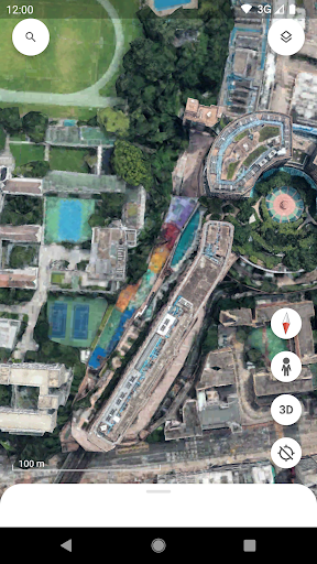
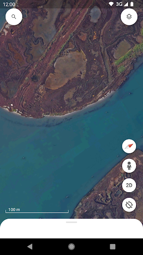
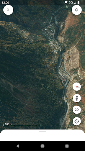
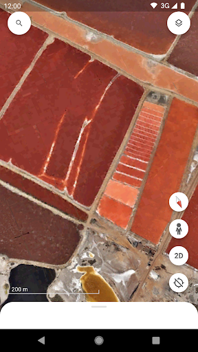
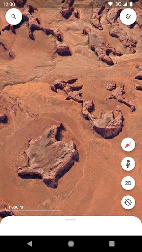
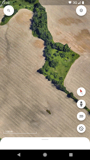
Google Earth is a mapping application that allows users to create and collaborate on data-driven maps. It provides high-resolution satellite imagery and 3D terrain exploration.
Key features
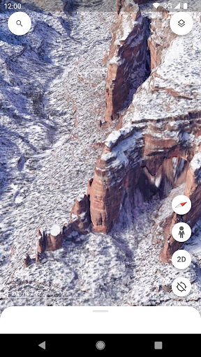
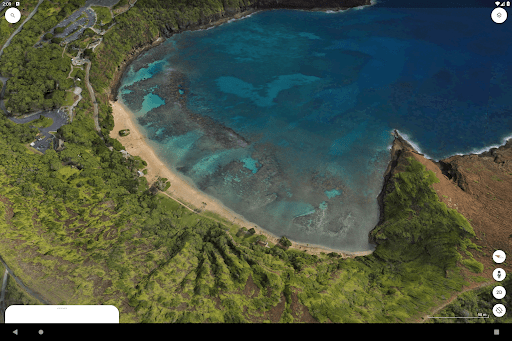
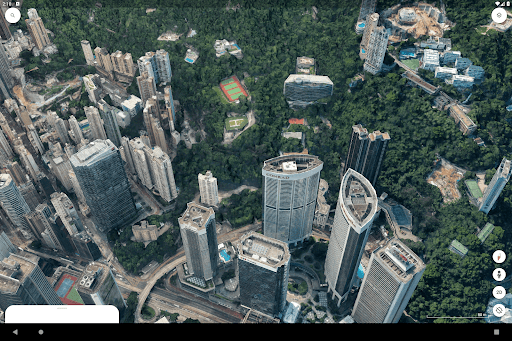
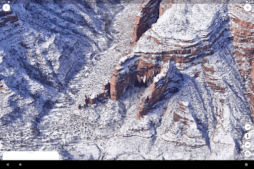
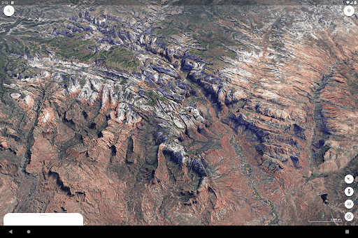
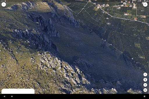
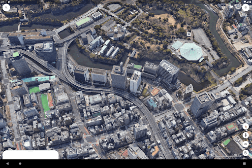
Explore 3D Terrain
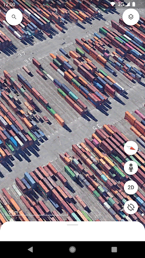
View detailed 3D models of landscapes and buildings. Users can explore geographical features and urban environments from various perspectives.
Street View Navigation
Experience immersive 360° perspectives of streets and neighborhoods. This function lets users virtually walk through locations.
Collaborative Mapping
Create and share interactive maps with others. This feature enables teamwork on data-driven geographic projects.
How it works
- Open the Google Earth application on your device.
- Use the search bar or explore the globe to find a location.
- Navigate through satellite imagery, 3D views, or Street View.
Who it is for
- Travel enthusiasts planning virtual trips.
- Students researching geography and global locations.
- Professionals needing to visualize project sites.
- Anyone curious about exploring the world from above.
Important information
- An internet connection is required for full functionality.
- The app may require location permissions to function optimally.
- Please check the official store listing for device compatibility details.
Overall assessment
Google Earth offers a powerful platform for exploring global geography and creating collaborative maps. Its detailed imagery and 3D views appeal to researchers, travelers, and professionals needing spatial data visualization.